DSpace Repository
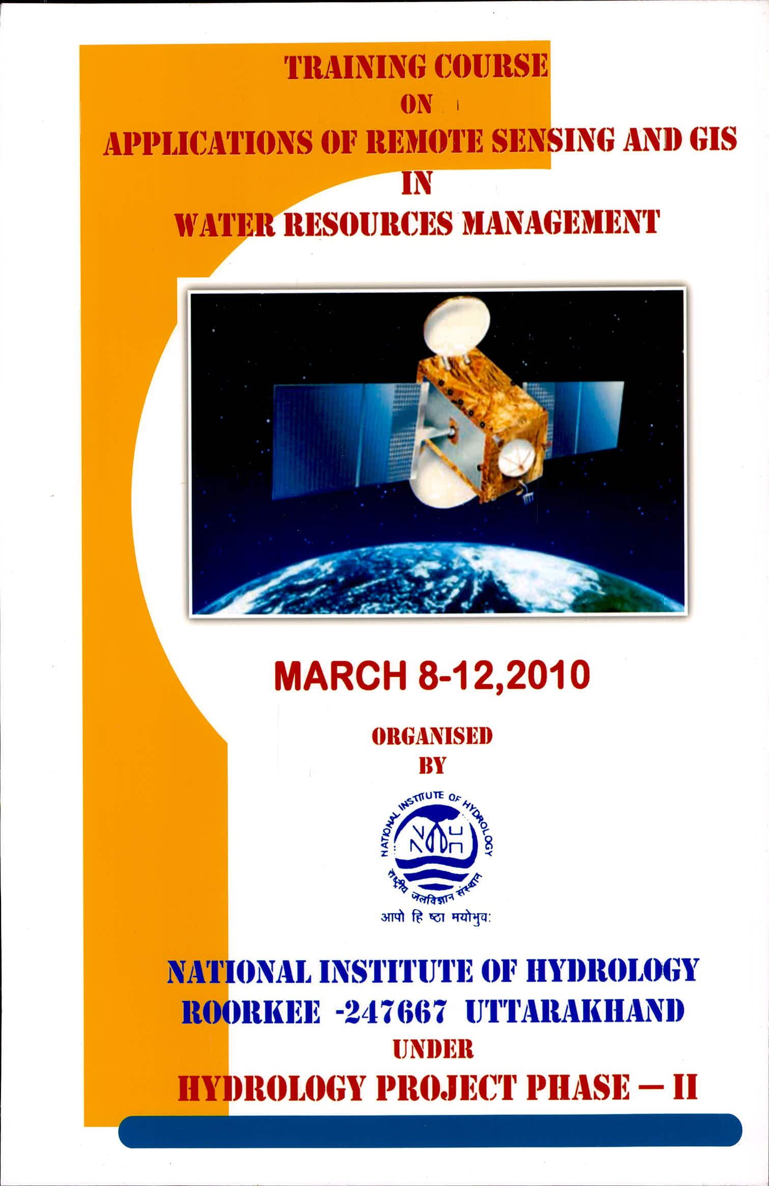
Training Course on Applications of Remote Sensing and GIS in Water Resources Management, March 8-12, 2010 Under Hydrology Project Phase-II at Roorkee
Login
DSpace Home
→
Training Course Lecture / Presentations / Virtual Presentations
→
Training Course Lecture
→
Training Course on Applications of Remote Sensing and GIS in Water Resources Management, March 8-12, 2010 Under Hydrology Project Phase-II at Roorkee
JavaScript is disabled for your browser. Some features of this site may not work without it.
Training Course on Applications of Remote Sensing and GIS in Water Resources Management, March 8-12, 2010 Under Hydrology Project Phase-II at Roorkee
Browse by
By Issue Date
Authors
Titles
Subjects
Search within this collection:
Recent Submissions
Contents
Jain, Sanjay K.
;
Lohani, A. K.
(
National Institute of Hydrology
,
2010
)
Preface
Singh, R. D.
(
National Institute of Hydrology
,
2010
)
1-Introduction and Principles of Remote Sensing.
Jain, Sanjay K.
(
National Institute of Hydrology
,
2010
)
2-Fundamentals of GIS and Its Application in Hydrology.
Rathore, D. S.
(
National Institute of Hydrology
,
2010
)
3-Interpretation of Remote Sensing Data.
Jain, Sanjay K.
(
National Institute of Hydrology
,
2010
)
4-Flood Studies Using Remote Sensing and GIS.
Rathore, D. S.
(
National Institute of Hydrology
,
2010
)
5-Application of Remote Sensing and ANNs in Land Feature Identification.
Sarkar, Archana
(
National Institute of Hydrology
,
2010
)
6-Rainfall-Runoff Modelling Using Remote Sensing and GIS.
Lohani, A. K.
(
National Institute of Hydrology
,
2010
)
7-Remote Sensing Application in Reservoir Sedimentation Studies.
Jain, Sanjay K.
(
National Institute of Hydrology
,
2010
)
8-Remote Sensing And GIS Application in Command Area Studies.
Goel, M. K.
(
National Institute of Hydrology
,
2010
)
9-Flood Plain Zoning Using Remote Sensing and GIS.
Kumar, Rakesh
(
National Institute of Hydrology
,
2010
)
10-Remote Sensing And GIS Applications in Irrigation Water Management.
Agarwal, S. P.
(
National Institute of Hydrology
,
2010
)
11-Watershed Management using Remote Sensing and GIS.
Jain, M. K.
(
National Institute of Hydrology
,
2010
)
12-Application of Remote Sensing in Ground Water Studies.
Kumar, Sudhir
(
National Institute of Hydrology
,
2010
)
13-Spatial and Temporal Estimation of Soil Erosion using Remote Sensing and GIS.
Tyagi, J. V.
(
National Institute of Hydrology
,
2010
)
14-Grounwater Studies using GIS.
Kumar, Vijay
(
National Institute of Hydrology
,
2010
)
15-Spatial Decision Support Systems (SDSS).
Jain, Sharad K.
(
National Institute of Hydrology
,
2010
)
Search DSpace
Search DSpace
This Collection
Advanced Search
Browse
All of DSpace
Communities & Collections
By Issue Date
Authors
Titles
Subjects
This Collection
By Issue Date
Authors
Titles
Subjects
My Account
Login
Register
Discover
Author
Jain, Sanjay K. (4)
Lohani, A. K. (2)
Rathore, D. S. (2)
Agarwal, S. P. (1)
Goel, M. K. (1)
Jain, M. K. (1)
Jain, Sharad K. (1)
Kumar, Rakesh (1)
Kumar, Sudhir (1)
Kumar, Vijay (1)
... View More
Subject
GIS Application (15)
Remote Sensing (15)
Ground Water (2)
Artificial Neural Network (ANN) (1)
Command Area Studies (1)
Decision Support Systems (DSS) (1)
Flood Plain Zoning (1)
Flood Studies (1)
Fundamentals of GIS (1)
Hydrology (1)
... View More
Date Issued
2010 (17)
Has File(s)
Yes (17)
RSS Feeds
RSS 1.0
RSS 2.0
Atom